Photo by
Meena Explores
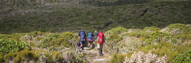
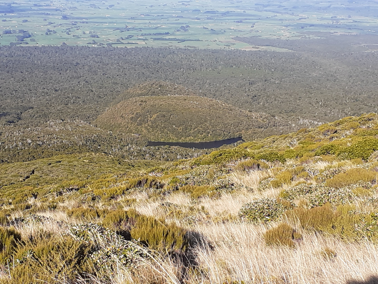
Enjoy great views up the mountain and down to the Taranaki Ring Plain and the coastline on route to picturesque Lake Dive.
There are two options to reach Lake Dive Hut:
The picturesque Lake Dive lies at the foot of the upper Beehive, a cumulo dome created when lava welled up and congealed before it could burst through.
No dogs.
On the lower track, unbridged stream crossings can become impassable after heavy rainfall.
Expect overgrown sections of track and some erosion in places.
The upper track is very exposed and not recommended in winter unless parties are equipped with ice axe and crampons. It is better to return on the lower track during this time of year.
Start this track from the Dawson Falls road end. In Stratford, turn off SH23 into Celia Street, which becomes Opunake Road. Follow this for 14 km, then turn right into Manaia Road and travel 9 km up the mountain to Dawson Falls visitor centre.

Total 1 photos. Click image above to view them all.

5 years ago