Norbett Creek Loop

  • Walking
  • Dog Friendly
  • Circular Track (Loop)
Length
6.3 km
Journey Time
2.5 hours return
Region
Wellington/Kapiti
Sub-Region
Upper Hutt
Part of Collections
Kaitoke Regional ParkGreater Wellington
Track maintained by
Greater Wellington Regional Council

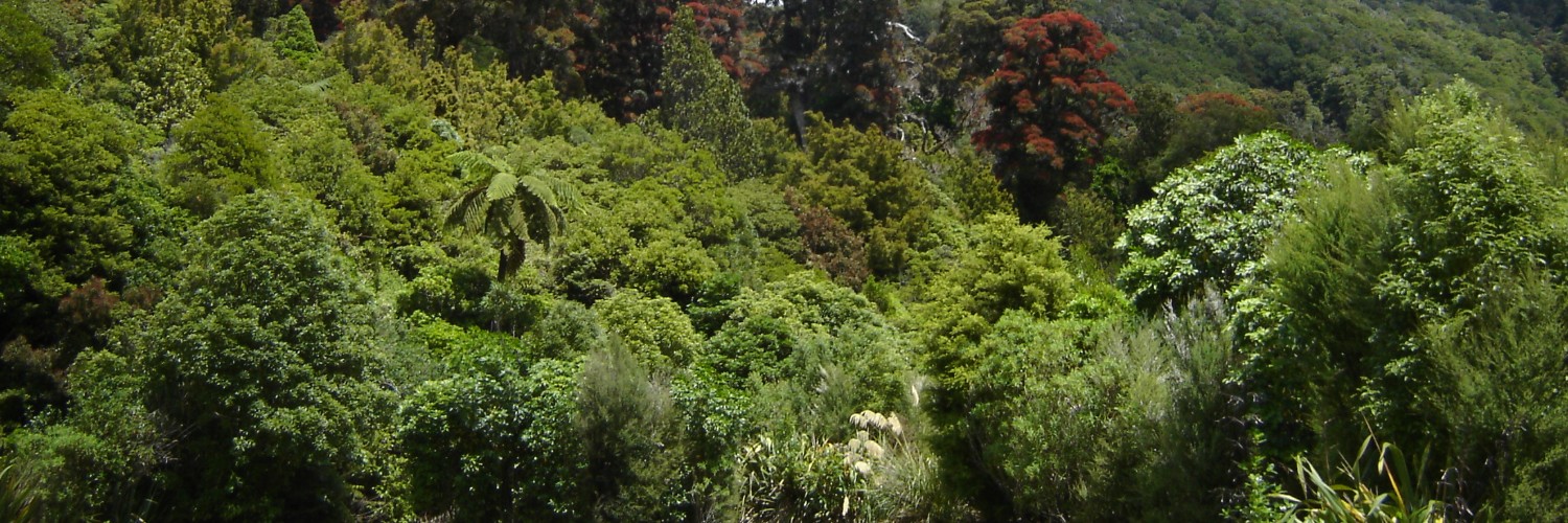
This steep route follows Norbett Creek before climbing up a beech forest-clad ridge to the Catchment Road. There you will be rewarded with great views of the Hutt Valley south to Wellington Harbour. Follow the road down to the Park Ranger’s office and return to your starting point via the Pakuratahi River Walk.

Conditions

  • Pack in and pack out.
  • Take your rubbish home and recycle it where possible.
  • Keep dogs under control and remove droppings.
  • Do not remove, disturb or damage plants or animals.
  • Portable gas barbecues may only be used in the picnic and camping areas.
  • Mountain biking and horseriding are only permitted on the Pylon Loop and Kaitoke Hill Tracks. Access is via the Te Marua entrance.
  • The Hutt River has several deep swimming pools. Take care as the water is cold and can be swift. The Pakuratahi River and Farm Creek offer shallower paddling and swimming spots suitable for young children.
  • For longer walks, wear strong lace-up shoes or boots and take warm waterproof clothing and enough food or drink for your trip.
  • If rafting in the Hutt River Gorge, start before 10am as the trip takes between 2 and 6 hours. Take extreme care and beware of logjams. Take survival gear, wear a wetsuit, lifejacket and helmet and let someone responsible know your intentions.
  • During the summer months toxic algae can be an issue. Keep an eye on the Is it Safe to Swim? information for updates.

How to get here

Waterworks road entrance:

  • Turn left off SH2 at Waterworks Road, 12km north of Upper Hutt. The park entrance is 1km from the highway, down Waterworks Road.

Te Marua entrance:

  • Turn left off SH2 at Twin Lakes Road, Te Marua, 5km north of Upper Hutt.

Transport

Accommodation

Food And Supply

Track Elevation and Map

More information

Greater Wellington — Kaitoke Regional Park

This track is part of the Herenga ā Nuku Aotearoa track database. Herenga ā Nuku has maps and advice about public access to the outdoors.

We encourage you to continue gaining the skills and knowledge required for a safe trip. The NZ Mountain Safety Council has lots of free resources and information you can use. These can be accessed via www.mountainsafety.org.nz.

We recommend trying these online learning tools:

Additionally, check out the range of helpful videos available from the NZ Mountain Safety Council YouTube channel.

Mountain Safety Council Plan My Trip
Page last updated: 9/06/2023, 8:30 am