Photo by
jgraham
Egmont National Park’s premier 2–3 day tramp offers spectacular views of Mt Taranaki and the surrounding countryside.
The 25 km track passes through forest, alpine tussock fields and the unique Ahukawakawa Swamp.
Witness the turmoil of centuries of volcanic activity as you cross the active erosion scar of the Boomerang slip and pass beneath the towering columns of the Dieffenbach cliffs.
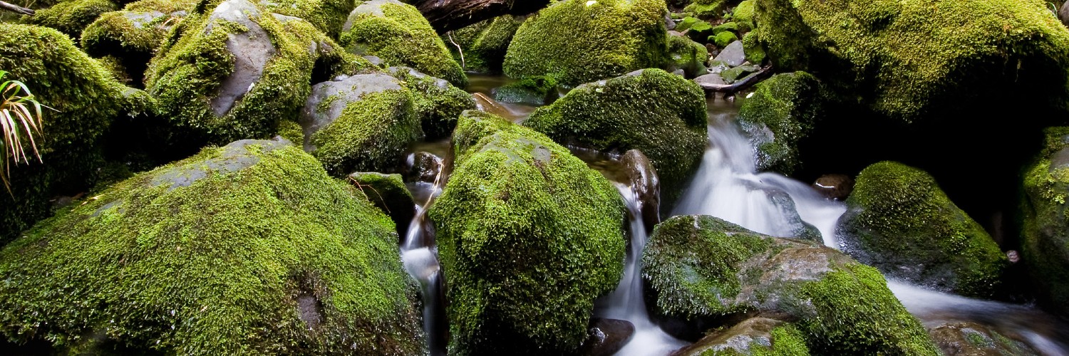
You might also notice the red water of the Kokowai Stream caused by manganese oxide oozing from the earth. Visit the mighty Bells Falls (side trip) and watch the water cascade over an ancient lava flow.
Pass through the fragile Ahukawakawa Swamp, with golden tussocks and summer flowers.
From the Pouakai Trig (side trip) on a fine day, take in stunning views of the Taranaki coastline and inland toward the mountains of the Central Plateau.
Beginning at Taranaki / Egmont National Park Visitor Centre (North Egmont), the track can be walked in either direction. Two serviced backcountry huts with woodburners, toilets, water, bunks and mattresses provide overnight accommodation.
Time: 3 - 4 hours
Distance: 7.5 km
The Holly Hut Track climbs through montane forest and subalpine scrub, passing the turnoff to the Plateau.
Walk beneath the towering lava columns of the Dieffenbach Cliffs and cross the Boomerang Slip. Once past the Kokowai Track turnoff, the track gradually descends to the Ahukawakawa Track junction. Turn left for a 5-minute walk to solar-powered Holly Hut.
Minarapa Stream just prior to the hut can be impassable after heavy rain. From the hut, a 30 minute (one way) side trip along the Bells Falls track will take you to the towering Bells Falls/ Te Rere o Tahurangi (31 m).
Time: 2 - 3 hours
Distance: 4.5 km
Return to the Ahukawakawa Track junction and follow the boardwalk across Ahukawakawa Swamp. This area is a wetland/swamp – while there is a boardwalk, expect water and mud on the track in places.
After crossing the headwaters of the Stony River/Hangatahua, the track ascends a ridge through mountain cedar to reach the Pouakai Track.
Turn left here to take a 1 hr 30 min (return) detour to Pouakai Trig (1440 m).
Turn right to follow Pouakai Track on to the Mangorei Track junction. Pouakai Hut is a 5-minute walk down the Mangorei Track.
The Mangorei Track is a good exit from the circuit if weather conditions are bad (allow 2 hours to Mangorei Road end).
Time: 5 - 7 hours
Distance: 13 km
Return uphill to the Pouakai Track junction and turn left to traverse open tussock lands, passing the scenic alpine tarns (pools) before skirting around Maude Peak.
The track then climbs Henry Peak (1220 m) before descending Kaiauai Track, passing the Kaiauai Shelter, to cross the swingbridge over the Kai Auahi Stream.
From here, the track continues through lowland forest, crossing several small streams before reaching the swingbridge across the Waiwhakaiho River. A short climb leads up to the Ram Track junction.
The quickest return to the visitor centre from here is via the road.
No dogs. Sections of this track can become impassable in winter conditions due to snow and ice. Check with Egmont National Park Visitor Centre for up to date track conditions.
North Egmont Visitor Centre: Access is via the Holly Hut Track. Kaiauai car park: Acces is via the Kaiauai Track leaving the carpark area, 2 km below the visitor centre on Egmont Road. Mangorei Road: Access is from the carpark at the top of Mangorei Road, off SH3, south of New Plymouth. Dover Track: Access is from Carrington Road opposite Dover Road. Ahukawakawa Track: Access is via the Ahukawakawa Track across the swamp from Holly Hut on the Around the Mountain Circuit.

This trail currently has no photos.
