Photo by
Kathrin & Stefan Marks
Wind across the lower slopes of the Mt Taranaki - discover towering cliffs, a mighty waterfall, a sphagnum moss swamp and stunning views on this day walk version of the popular 2–3 day Pouakai Circuit.
You can walk the track in either direction, but there is less climbing if you walk from the Egmont National Park Visitor Centre to Mangorei Road.
This is a backcountry tramp - so expect the track to be rough, muddy or wet in places. There is deep mud in sections across the Ahukawakawa Swamp.
Track maintenance is underway but may take some time.
Time: 3–4 hr
From North Egmont Road end follow signs to Holly Hut. The track climbs through montane forest and subalpine scrub. It passes beneath the towering lava columns of the Dieffenbach Cliffs and crosses Boomerang Slip.
You might notice the red water of the Kokowai Stream caused by manganese oxide oozing from the earth. Once past the Kokowai Track turnoff, the track gradually descends to the Ahukawakawa Track junction.
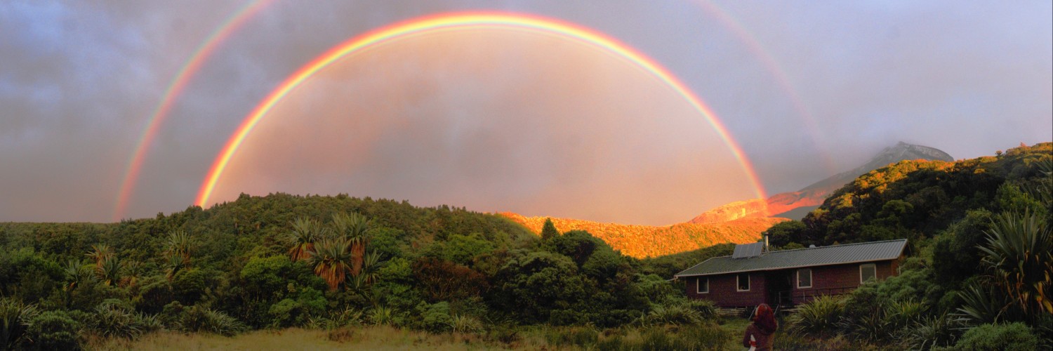
Turn left for a 5-minute walk to Holly Hut.
Minarapa Stream just prior to the hut can be impassable after heavy rain.
Time: 1 hr return
It’s worth a side trip down to this mighty waterfall, one of the best in Egmont National Park.
Over many millennia the water of the Stony River/Hangatahu has eroded a pathway through the volcanic rock of The Dome to form the 31 m falls.
Time: 2 hr
Return to the Ahukawakawa Track junction and follow the boardwalk across the Ahukawakawa Swamp.
This unique microclimate is home to many plant species, some usual at this altitude and others found nowhere else in the world.
Stop at the viewing platform before continuing on to cross the curved wooden bridge over the Stony/Hangatahua Stream.
This area is a wetland - while there is a boardwalk, expect water and (in some places) mud, over the track. The track then climbs steeply through mountain cedar to reach the Pouakai Track junction.
Turn right and continue beneath the aptly named Hump and past the Mangorei Track junction to reach the picturesque Pouakai Tarns.
On a fine day, you can see a stunning reflection of Mt Taranaki in the pools.
The area around these small alpine tarns is very fragile – respect this, and keep off-track activity to a minimum and do not enter the pools.
Time: 1 hr 30 min return On a fine day take a detour at the Pouakai Track junction – turn left towards Pouakai Trig (1440 m) with stunning views of Egmont National Park and the coastline.
This track is a little rugged in places – be prepared for some mud and track erosion.
Time: 20 min
Backtrack to the junction with Mangorei Track and head downhill to Pouakai Hut.
Enjoy a break on the hut deck and take in the spectacular views up the Taranaki coastline.
Time: 2 hr
The long descent to the road end winds through cool forest dripping with mosses and lichens – these twisted kamahi trees are known locally as ‘Goblin forest’ as it is like walking through an enchanted forest – keep an eye out for fairies!
No dogs.
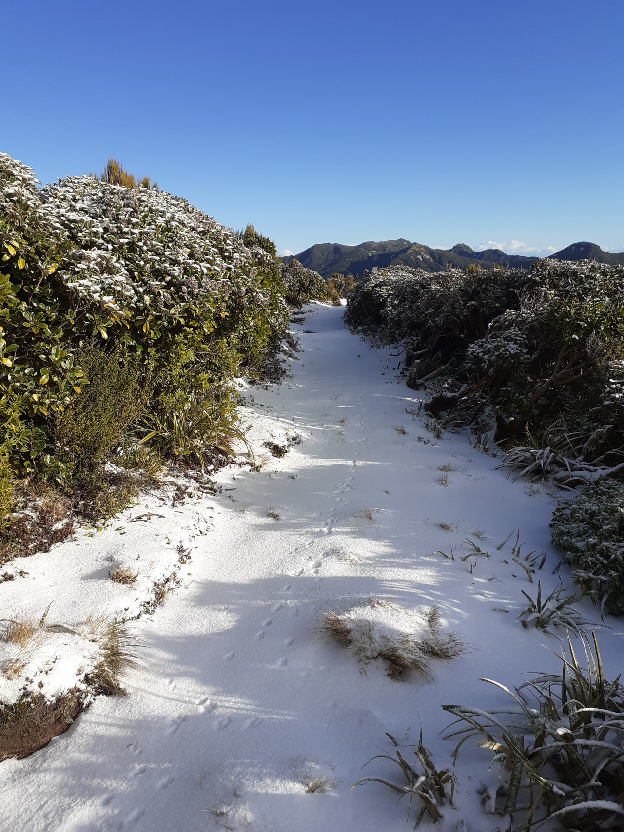
Sections of this track can become impassable in winter conditions due to snow and ice.
Check with Egmont National Park Visitor Centre for up to date track conditions.
North Egmont is 29 km south of New Plymouth. Follow SH3 for 13 km, then turn onto Egmont Road and follow this to the end. This is a one way track so you need to arrange transport to/from one end. Shuttle services are available – book directly with an operator.

Total 2 photos. Click image above to view them all.

5 years ago
5 years ago