Photo by
russellstreet
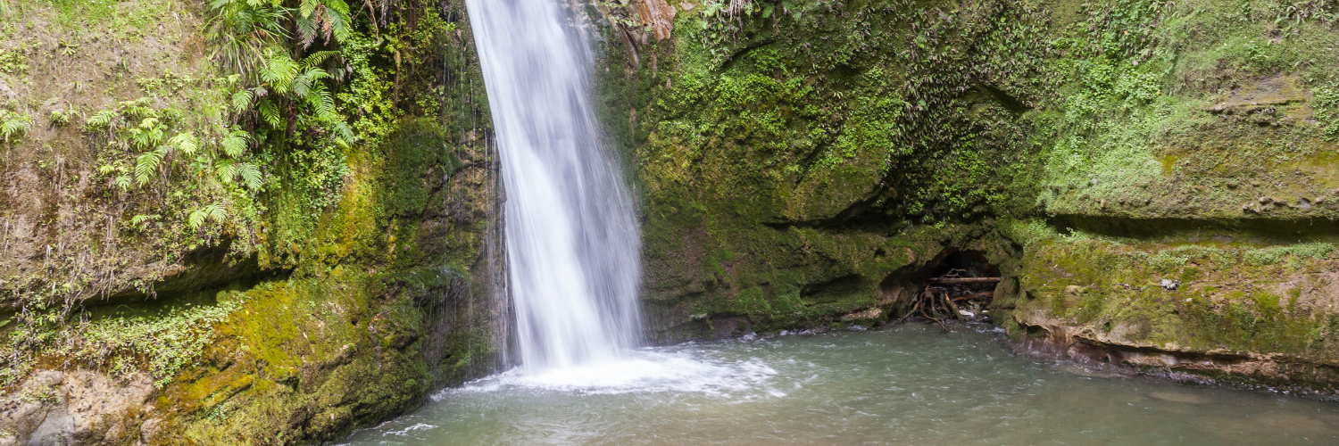
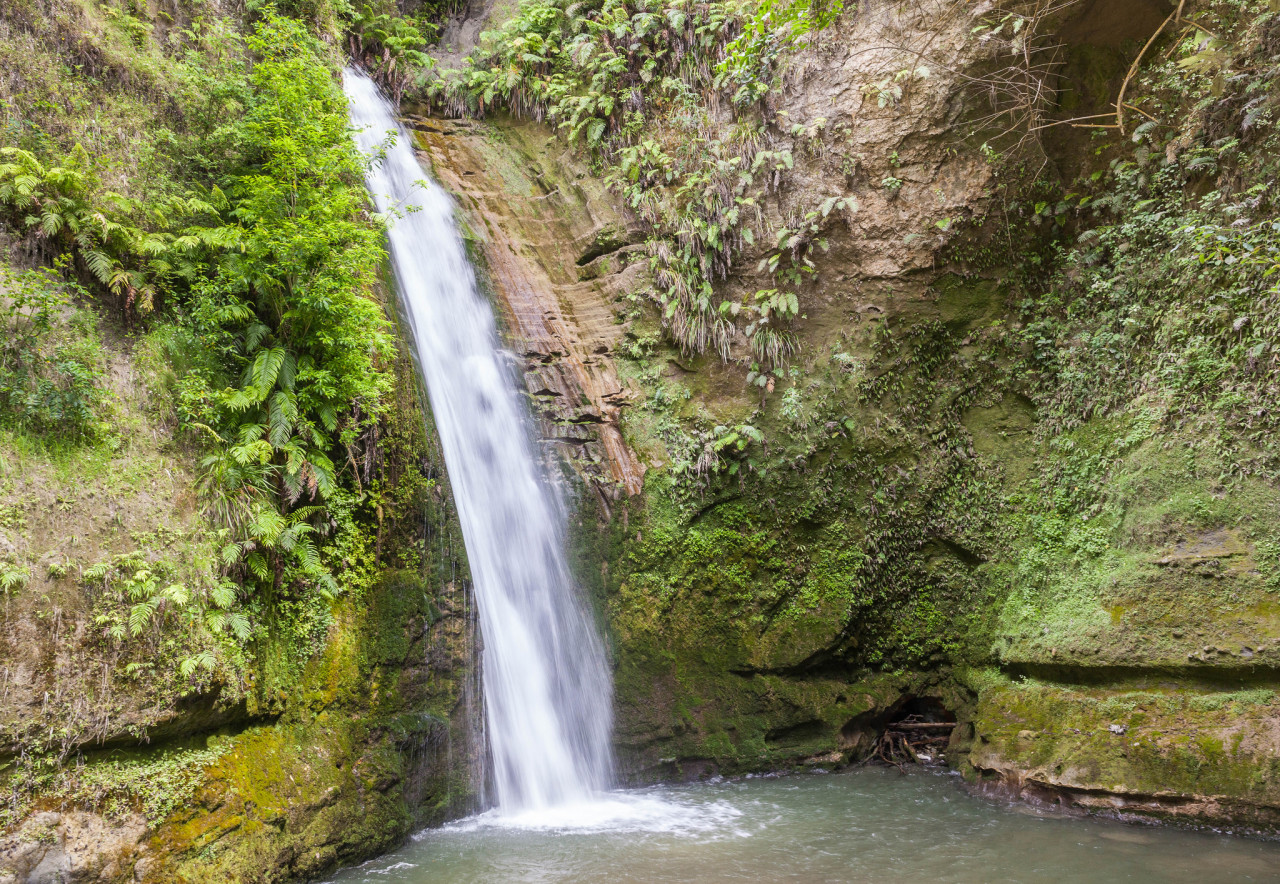
The Tangoio Walkway links two of Hawke’s Bay’s beautiful scenic reserves, White Pine Bush and Tangiao Falls.
The walkway follows Kareaara stream through native forest, open grassland, and old and new pine plantations to the Te Ana and Tangoio Falls. Listen for tui, kereru, bellbird, fantail, kingfisher and grey warbler in the forest and watch for freshwater crayfish in the stream.
The walkway links with the short and long loop tracks in White Pine Bush Path.
Walking the track from north to south is recommended as the going is nearly all downhill. The track is steep in places and a stream crossing requires care after rain.
No dogs. Walking the track from north to south is recommended as the going is nearly all downhill. The track is steep in places and a stream crossing requires care after rain.
Tangoio Falls Scenic Reserve is 27 km north of Napier on SH2. Tangoio Walkway can be accessed from the picnic / parking areas at either the southern end of Tangoio Falls Scenic Reserve or opposite White Pine Bush Scenic Reserve.

Total 1 photos. Click image above to view them all.
This track is part of the Herenga ā Nuku Aotearoa track database. Herenga ā Nuku has maps and advice about public access to the outdoors.
We encourage you to continue gaining the skills and knowledge required for a safe trip. The NZ Mountain Safety Council has lots of free resources and information you can use. These can be accessed via www.mountainsafety.org.nz.
We recommend trying these online learning tools:
Additionally, check out the range of helpful videos available from the NZ Mountain Safety Council YouTube channel.
