Marine and coastal area
Public access to and along the marine and coastal area (previously called the foreshore and seabed) is defined in the Marine and Coastal Area (Takutai Moana) Act 2011
Coastal areas are spiritually significant to tangata whenua and are also practically significant as a source of food, weaving and carving materials. This is recognised in Te Tiriti, which guarantees tangata whenua undisturbed possession of taonga, such as the coastal area and its fish.
Defining the marine and coastal area
The marine and coastal area is the area of land that is bounded:
- on the landward side, by the line of mean high-water springs; and
- on the seaward side, by the outer limits of the territorial sea
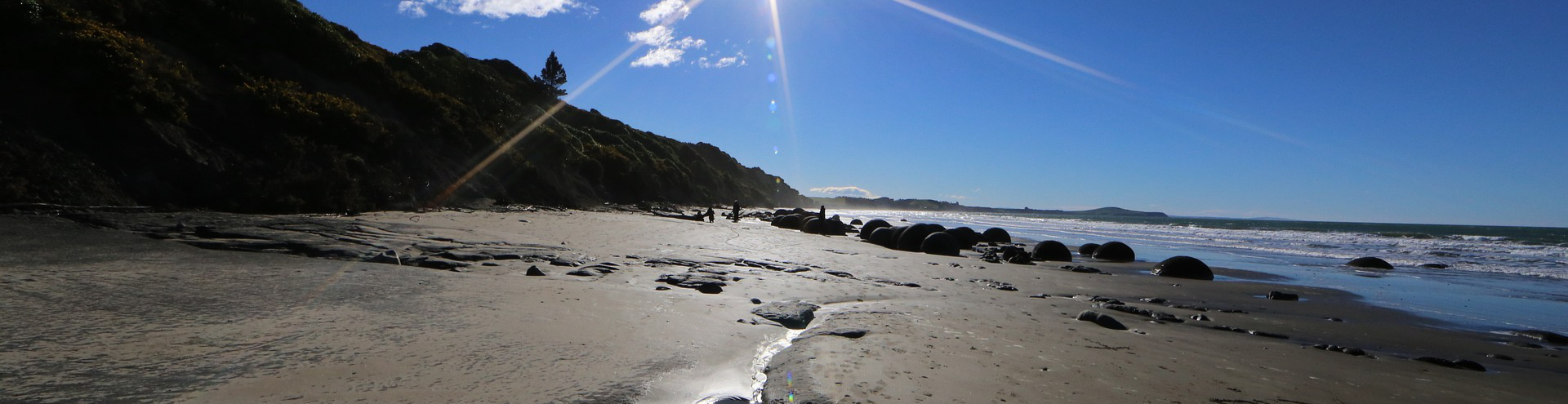
In other words, it goes from the high tide line 12 nautical miles out to sea. The bit of land where the tide goes in and out can often be walked on.
The marine and coastal area includes the harbours and beds of tidal rivers that are part of the coastal marine area (within the meaning of the Resource Management Act 1991), the airspace above, the water space above (but not the water), and the subsoil, bedrock, and other matter under the areas described above.
No one can own marine and coastal areas and, therefore, they cannot be sold.
Public access rights
The Marine and Coastal Area (Takutai Moana) Act 2011 gives a pathway for tangata whenua to gain legal recognition of their customary mana whenua rights to the marine and coastal area. But it does not affect public access to the marine and coastal area.
Section 26 of the Act guarantees that everyone can continue to have free public access on the marine and coastal area, even if a mana whenua group’s customary rights have been legally recognised under the Act for the area. However, the public does not have the right to cross any private land, including Māori-owned land, to access the marine and coastal area.
Free public access rights on the marine and coastal area will also depend on whether restrictions under any other laws, such as council bylaws or fishing regulations, are in place.
As Community Law notes:
“Everyone can continue to do things like walking, swimming, sailing, kayaking, fishing and picnicking in the common coastal and marine area. The rules about recreational fishing continue unchanged.
“However, those rights to recreational access and use are subject to any wāhi tapu conditions that have been included in a government agreement or High Court order recognising Māori customary rights under Te Takutai Moana Act. The wāhi tapu conditions can’t prevent fishers from taking their legal entitlement under fisheries laws.”
Movable boundaries
Marine and coastal areas are not fixed in place. They will move over time due to erosion and accretion. Because of this, it is hard to generalise public access without a detailed status investigation of the land besides marine and coastal areas.
Practical access will depend on whether the land title has been surveyed and defined as a marine/water boundary or a fixed boundary.
Publicly accessible land, such as a marginal strip, unformed legal road or esplanade reserves, may also sit between private land and the moveable marine and coastal area. This could provide a more practical public access corridor above the tidal area.
Digital maps only show where the boundary was located at the time of the last survey—in reality, erosion and accretion often mean this has moved. The line shown on digital imagery and digital maps doesn't always reflect where marine and coastal areas exist.
Questions
Contact one of our regional field advisors
More information
Marine and Coastal Area (Takutai Moana) Act 2011
Community Law: Access by the New Zealand public to te takutai moana