Ngā Ara Hīkoi ki Aotea – Aotea community walking connections
We are working with Great Barrier Island communities to reconnect walking routes between the settlements in the southern part of the island. Luckily, Aotea Great Barrier has a network of existing unformed legal roads (sometimes called “paper roads”) that connect these settlements. The project has local funding. Herenga ā Nuku’s Regional Field Advisor, Dot Dalziell, is coordinating it, and local volunteers are supporting it.
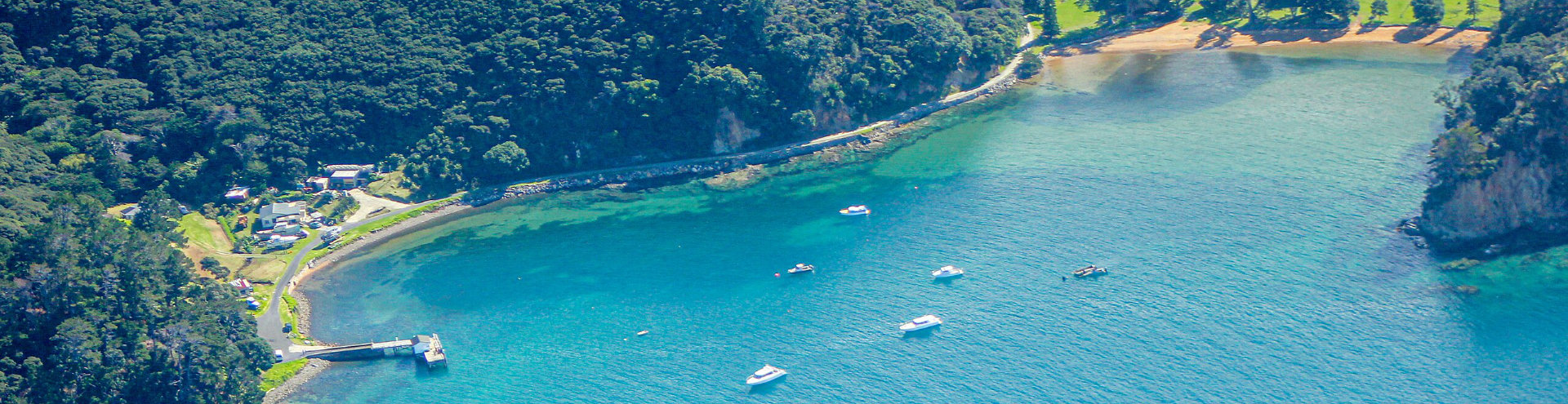
The first route we are working on connects Claris along Kaitoke Lane to Okupe / Okupu (see the map below with a solid purple line representing an unformed legal road between Okupu and Kaitoke Lane). We walked over the route in March and noted the following:
Okupe/Okupu to Kaitoke Lane
- This is a walkable route – and we talked to people who have walked it in the past!
- The gradient is suitable for walkers with moderate fitness and agility.
- Anyone with the Pocket Maps app can easily navigate the unformed legal road.
- Locals are interested in walking safely between settlements, accessing the land for predator control, and connecting the school community to the school.
- Given that there is legal public access along the unformed legal road, we think it would be best to help people stay on track.
Proposal
- To make it obvious and easy to follow the route, we propose clearing and marking a narrow path (one person’s width) through the bush-covered sections, reusing as much of the remnants of the old track as possible.
- Installing signs and way-finding markers to help walkers stay on track, and
- Using the full 20m width of the unformed legal to buffer private residences.
Our plan aims to enhance safety and accessibility for all walkers while preserving the natural environment.